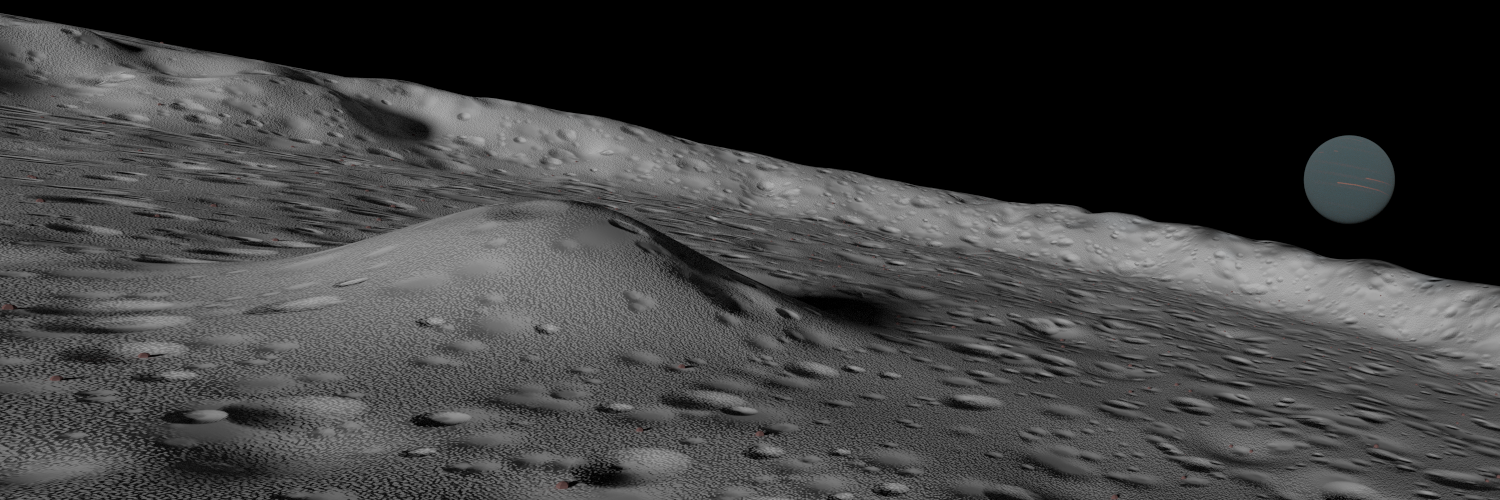
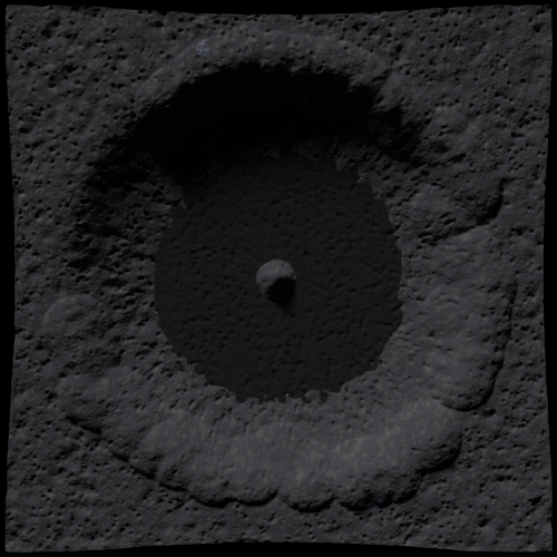
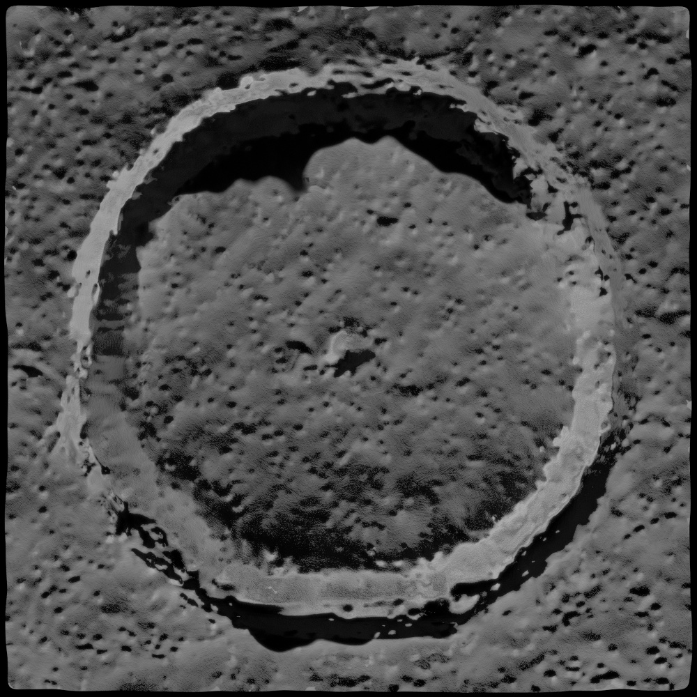
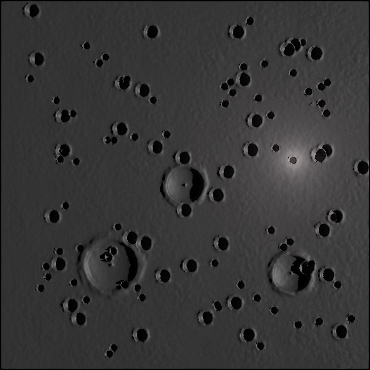
As I mentioned before, I had been intending to do some research into reasonable actual sizes and proportions of impact craters as these. It is quite interesting indeed, and I could discuss it more at length than I shall here, but I will be more to the point. Craters can be grouped into several classes, which in order of increasing size are: Simple (bowl shaped craters lacking peak structures), and Complex which is broken down generally into those craters that possess simple peak structures, to expanded complexes and rings, to the large multiringed basins, as the Mare Oriental, an image of which was provided by imagecorp. Depth to diameter ratios decrease as one moves from a simple crater to a basin, although actual floor level drops. The transitions between these classes depend on, largely, surface gravity of the object being hit.
Overall, based on the proportions I found and measure, I am thinking that I will go for an object with a gravity rather less than the moon, have a crater of between 40 and 50km in diameter, on a square base that will be between 50 and 80km (I at first was going for a landscape dominated by the crater alone, but am rethinking that some). The crater itself shall be between 2 and 1.5km deep, probably closer to two, with a peak maybe 50m below the surrounding surface.
That was probably the easy part.
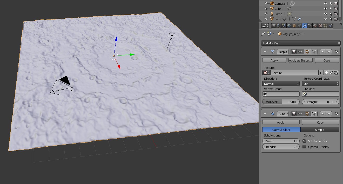
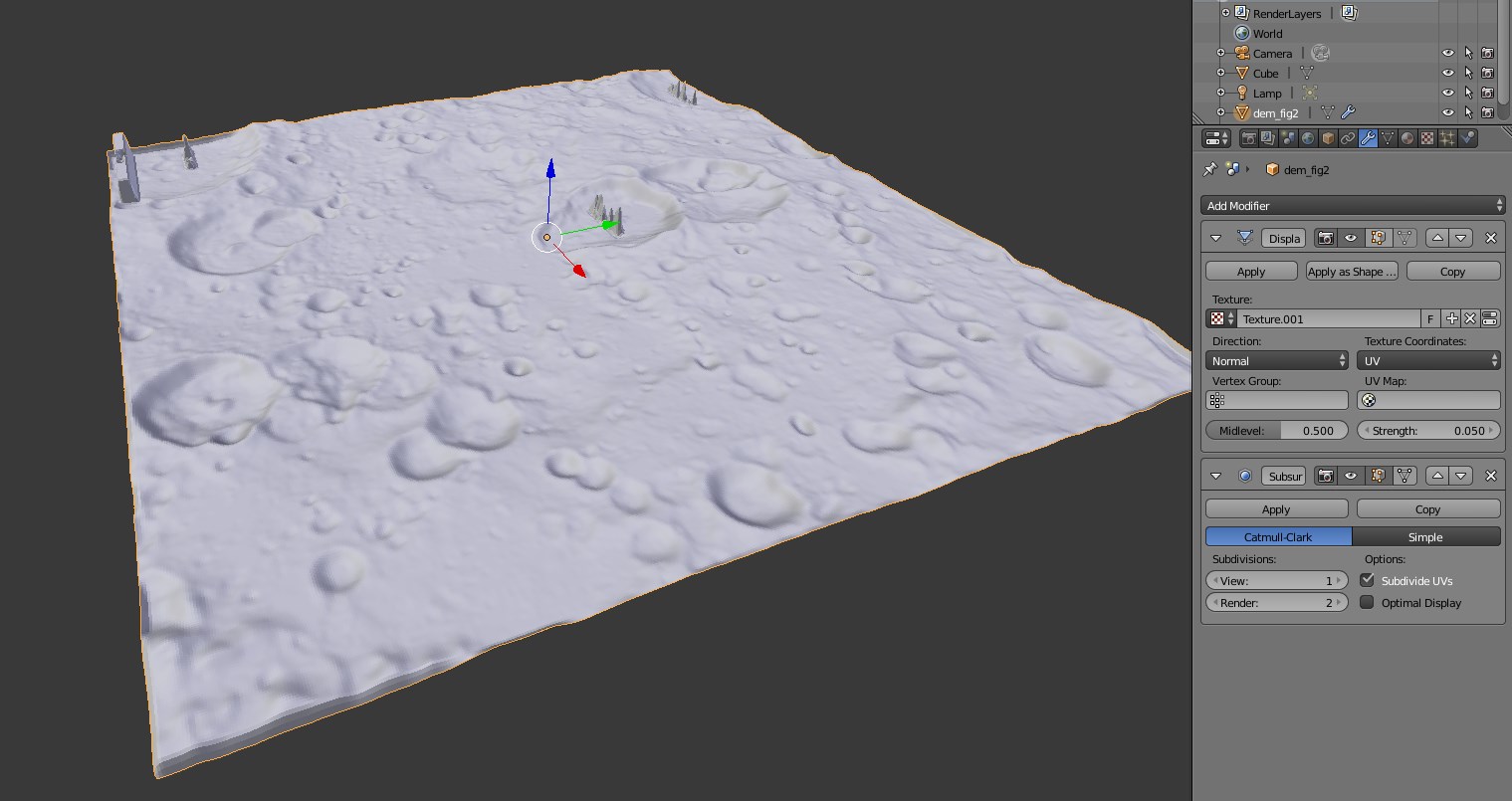
Normal maps have been giving me a great deal of opposition, and my attempts to quell their uprisings have been difficult. During their use I have had terrains disappear entirely from the rendered view, act as though the sun was coming from the opposite direction, negate actual features, and do nothing at all. During their generation I have had problems with holy images (I found some suggestions that this might be from overlapping vertices, but on my UV maps, I did not see evidence that caused me to think that was the case), as well as weird bubbly warped looking ones. Attempting to fix all of this has been frustrating indeed, and is perhaps worthy of another WIP thread in itself. If anyone has any thoughts on how to troubleshoot this, that might be helpful indeed, I am getting together more images to upload.
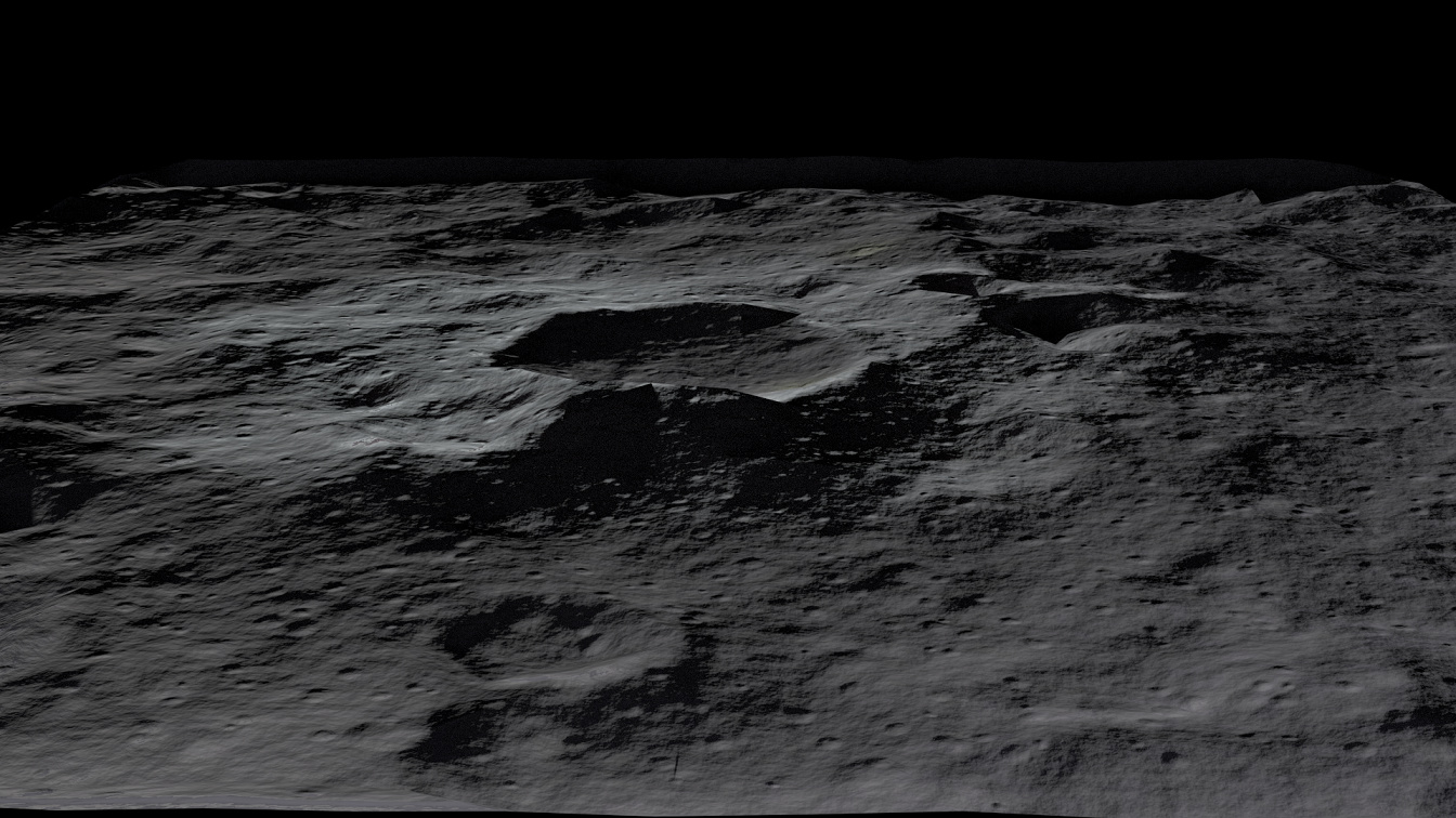
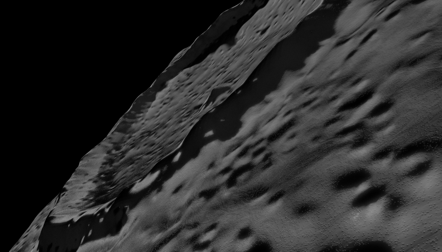
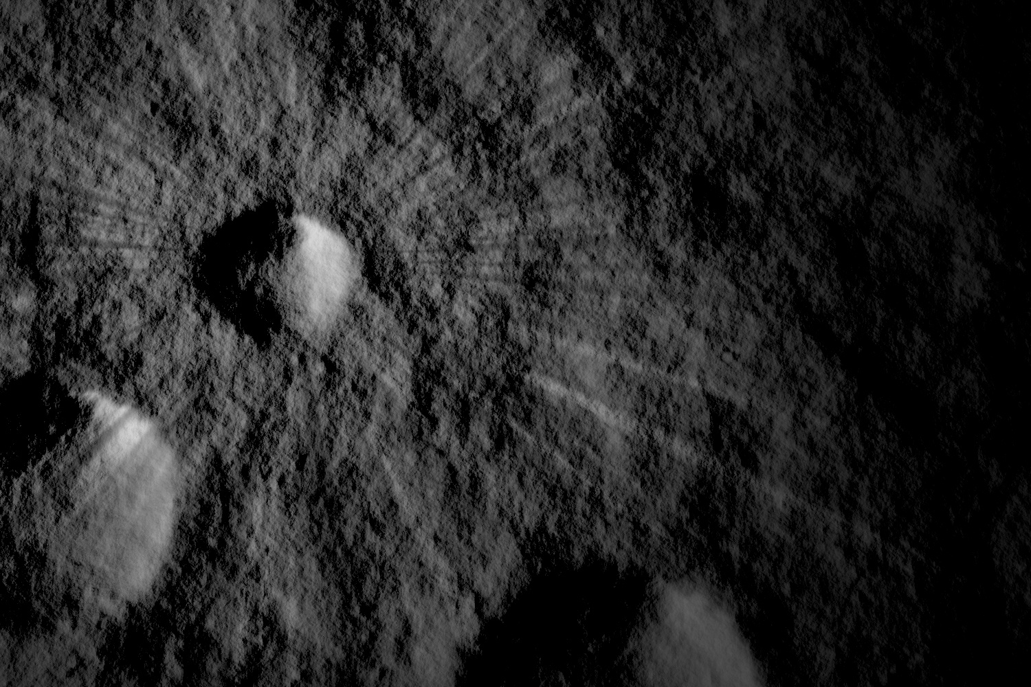
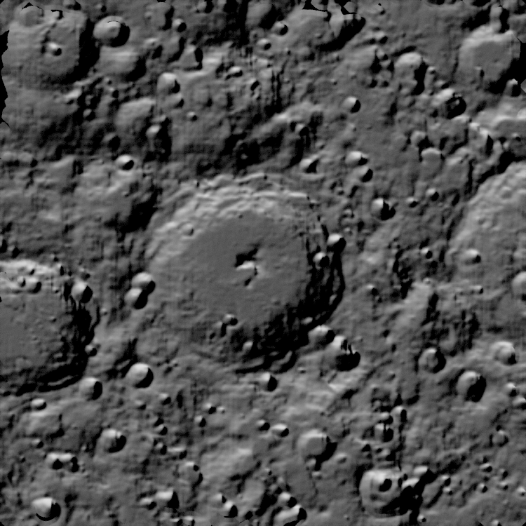
A bit of real lunar terrain, generated from LRO data on my computer. Visible near the edges are patches where the normal map is transparent. This is simply a flat plain, were I to have displaced it to match the normal map, we would be able to see that the sun angle is reversed, as the shadows would be strange and contradictory.
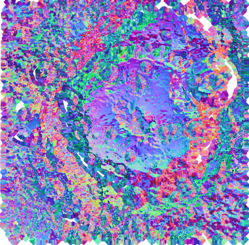
A normal map. I had hoped for something that was more normal.
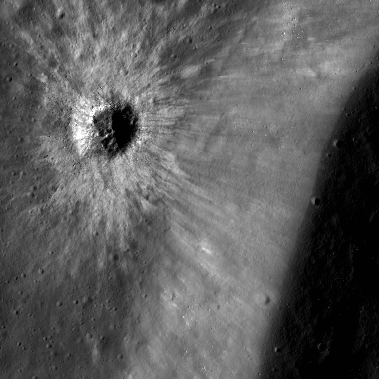
After imagecorp’s suggestion (an idea which Kilon alluded to before), I began looking into using actual textures generated from Lunar Reconnaissance Orbiter (LRO) data. MapaPlanet, a service provided by the USGS, provided access (albeit slowly) to this data, which I have been downloading, modifying, and turning into meshes (and normal maps). This has not gone badly, and the meshes themselves look quite excellent. It is also an easy matter to get colour maps to pair together for them. However, issues with normal maps are still irksome and have hampered this attempt. I have been able to modify and layer these fairly well with other feature that I want, and am experimenting with ways to layer them together in Blender.
(If you are interested in reading more about crater formation, a well put together website I found was www.lpi.usra.edu//exploration/training/resources/impact_cratering)